 |
| Petrifying Springs Park, Somers Township, Kenosha County View taken on Berryville Road (Highway A) looking east. Photo taken October, 2011 (Source: Photo by Jacqueline Klapproth Nelson. Copyright 2011. All Rights Reserved.) Introduction A fall trip through Petrifying Springs Park, located in Somers Township, is a must. It is during October that nature emblazons the wooded areas. The park's color in unequaled for brilliance and variety with both native and introduced species of deciduous trees. Below are spectacular photos taken during peak color during October, 2011. Additional information about the geology, Pike River, hydrology and other informaiton follow this photo gallery. |
 |
| Walking trail entrance on the North Loop. Petrifying Springs Park, Somers Township Photo taken October 2011 (Source: Photo by Jacqueline Klapproth Nelson. Copyright 2011. All Rights Reserved.) |
 |
| Petrifying Springs Park, Somers Township Photo taken October 2011 (Source: Photo by Jacqueline Klapproth Nelson. Copyright 2011. All Rights Reserved.) Multi-color fallen leaves along the pathway. |
 |
| Petrifying Springs Park, Somers Township Photo taken October 2011 (Source: Photo by Jacqueline Klapproth Nelson. Copyright 2011. All Rights Reserved.) Turning off Highway 31 onto Berryville Road (Hwy A) heading east. |
 |
| Petrifying Springs Park, Somers Township Photo taken October 2011 (Source: Photo by Jacqueline Klapproth Nelson. Copyright 2011. All Rights Reserved.) Maple leaves |
 |
| Petrifying Springs Park, Somers Township Photo taken October 2011 (Source: Photo by Jacqueline Klapproth Nelson. Copyright 2011. All Rights Reserved.) Highway JR, looking west from the South Entrance |
The Beginning
Petrifying Spring Park comprises of approximately 350 acres of woodlands, flora, and river basin. It first opened April 1, 1928. The name was derived from a Calcareous formation that appears on the South Ravine. The ravines, basin, and winding Pike River are remnants of a geological period, the Pleistocene Epoch, which started one million years ago. A continental glacier formed by snow turning to ice and it moved southward from the Labrador-Hudson Bay Region until it covered North America as far as the Ohio and Misouri Rivers.
Archeology
On the South Ravine, at several locations, water trickles from the hillside. Early settlers called this run-off "The Indian Springs". The water was believed to have great curative powers and was the favorite stopping place for Potawatomi Indian people and early travelers to rest and drink the cool refreshing water.
The low basin, with meandering Pike River, formerly occupied the setting of an old Indian camp site. Archaeologists and farm people have found arrowheads, trade items, and other artifacts in the park, adjacent farm fields, and nearby University of Wisconsin Parkside campus grounds.
Hydrology
An explanation of the springs hydrology is given by G.F. Hanson, State Geologist, University of Wisconsin-Madison. He states, "The 'spring' that furnishes drinking water in the park is a drilled artesian well in the Niagara dolomite, but the spring on the hillside is not an artesian flow but a contact spring. It is caused by rainwater percolating downward to a relatively impervious layer and then emerging as a spring from the hillside. The petrified sticks, acorns, etc. that occur at such springs are not petrified in the sense that the organic matter is replaced with mineral matter. It is simply covered with lime. It has taken may years for the lime-laden water to form the moss-like stone which appears on the South Ravine, and can be seen along the hillside trail. It lies just under the leaf humus."
Highway 31
The last ice movement, known as the Lake Michigan Lobe of the Wisconsin stage, left a colossal hallmark upon the landscape. In the forward advance, ridges developed on the east and west outer edges of the huge lobe, thus causing earthen dikes of terminal moraines. Highway 31 follows the top of one of these moraines. At the park, the highest elevation is approximately 120 feet above lake level. Sighting toward the east horizon, Lake Michigan can be seen about three miles away. South on Highway 31, approximately two miles from the park, is a U.S. Coast and Geodetic Survey bench mark. This point is the highest elevation of Highway 31 between Chicago and Milwaukee at 164 feet above lake level. During the last stages of the retreating ice lob, the tempestuous volume and force of melting water, carved the some 100 feet deep ravine through the park as it shows today.
 |
| (Source: Photo by Jacqueline Klapproth Nelson. Copyright 2011. All Rights Reserved.) This marker is located at the "Billy Smith" trail head located on Highway E, across the Oakwood Cemetery, on the old "Billy Smith" pioneer homestead, now UW Parkside property. |
 |
| Unkown to many, the "Billy Smith" trail on Highway E across from the Oakwood Cemetery is the entrance to the old homestead. Remnents of the old foundation can be found along with an impressive grove of giant maple and oak trees. This is worth a 5 minute walk. (Source: Photo by Jacqueline Klapproth Nelson. Copyright 2011. All Rights Reserved.) |
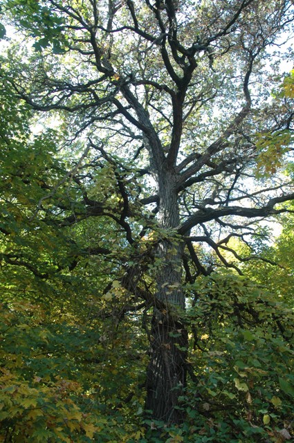 |
| This giant of the woods is located on the "Billy Smith" trail mentioned above. A short walk into this trail shows examples of some of the oldest living trees in this area. |
Rolling Terrain of the Area
As the volume of glacial melt water was impounded with other watersheds, it formed glacial Lake Chicago, with water overriding the land to a 55 foot stage above the now lake level. Most of the city of Kenosha was inundated to 30th Avenue. This high stage or beach is known as the Glenwood Stage and can be seen one-half mile east of the park, east along UW Parkside's Tallent Hall, south along 30th Avenue. It is visible just west of the Kenosha Technical Institute.
Glacial Lake Chicago soon found outlets at the now Chicago River joining the Illinois and Mississippi river then south to the Gulf of Mexico. Another outlet moved eastwardd through Lake Huron, Erie, and Ontario and the St. Lawrence River to the Atlantic Ocean. Glacial Lake Chicago later became Lake Michigan. The lake then established the now mean level, predicated at 580 feet above sea level.
Pike River
Pike River also receded with lake levels and established a well defined watershed. Head waters of the stream meet at the northwest corner of the park and Highway 31 flowing easterly through the park, UW Parkside Campus and Kenosha Country Club. One-half mile from Lake Michigan, near Berryville, it turns at right angles following a southerly valley course of about three miles through Carthage College Campus, Alford Park and finally joins Lake Michigan north of Kennedy Park.
(Text Source: "Petrifying Springs Park" A Series of Park Interpretations, by Phil Sander.)